Bourne Preserves
Bourne is bisected by the Cape Cod Canal, and includes the three villages of Cataument, Pocasett, and Sagamore. Those three sections of Bourne will be listed separately from this page. On this page is just Bourne 'proper'.
Preserves in Bourne:
Bourne Sisters Woodland
PDF Trail Map of Bourne Sisters Woodland
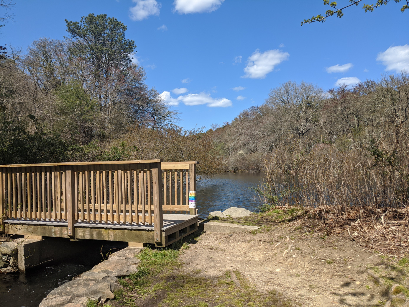
For a walk in the woods, Bourne Sisters Woodland is a nice destination. The main Loop Trail is a fairly short 0.6 mile but there are a few additional trails that can increase the distance. Near the entrance (or exit, which is the direction these pictures are taken) to the preserve is a picturesque footbridge.
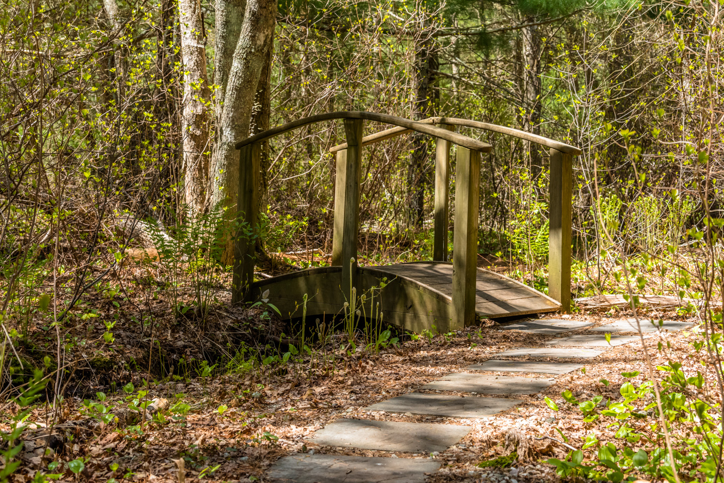
According to Anne, it is even more picturesque with Paul standing on the bridge.
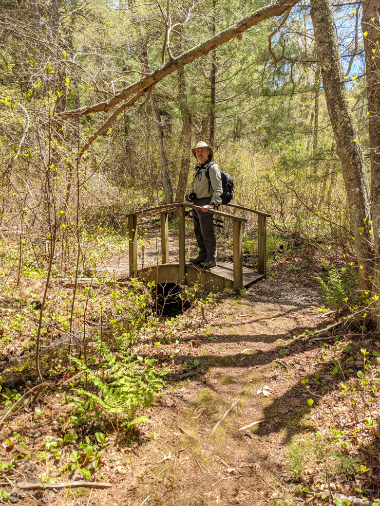
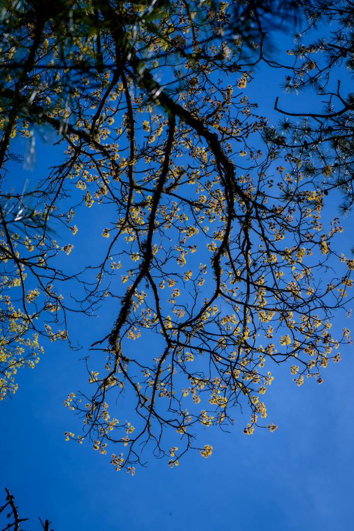
We had a sunny day, and the leaves were starting to emerge.
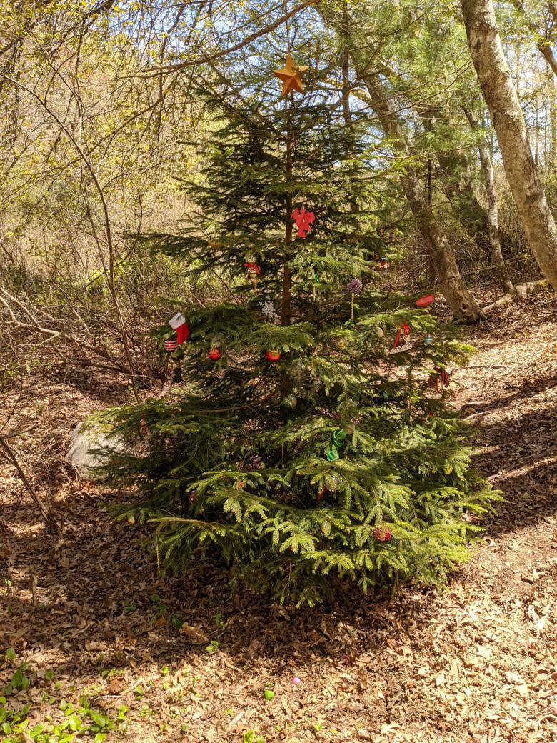
An interesting and rather out-of-season sight was a tree with Christmas decorations on it.
Cape Cod Canal Bike Path (Cape Cod side)
The Cape Cod Canal Bike Path has a mainland side and a Cape Cod side. To see some information on path that goes along the canal on Cape Cod, click here for its page.
Carter Beal Conservation Area
There is no PDF trail map available for this preserve.
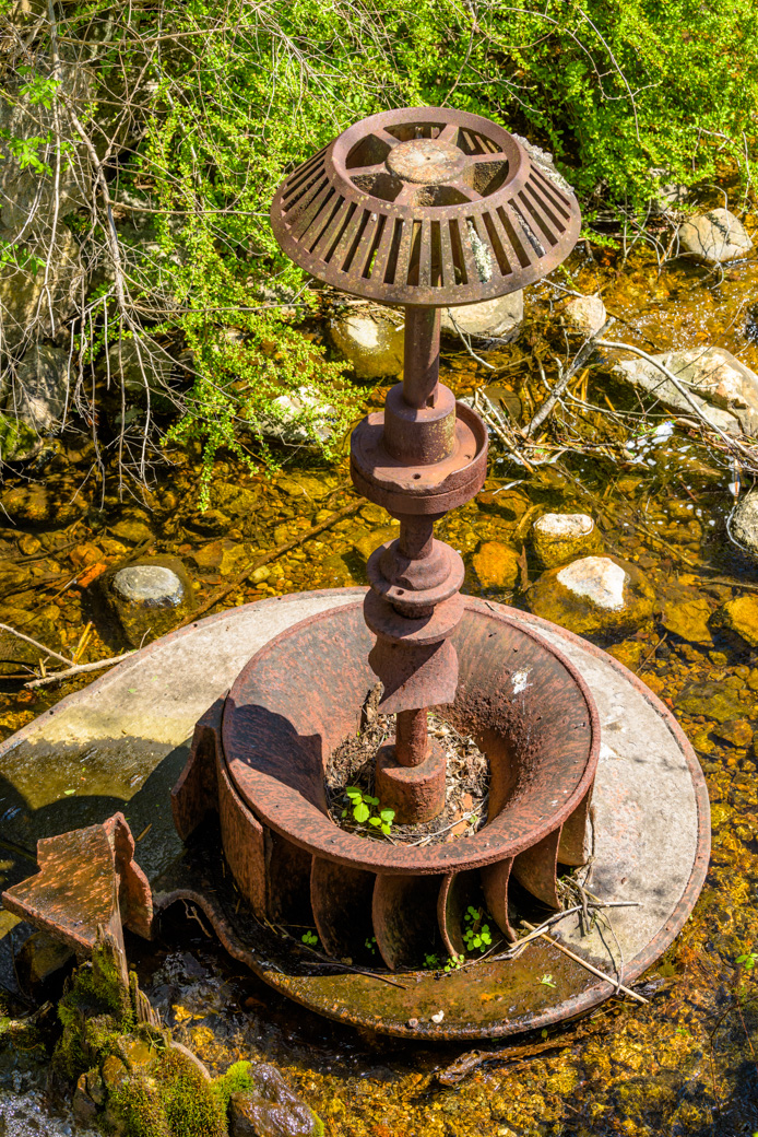
Carter Beal Conservation Area (visited Spring 2020) has a fish ladder for herring, some remnants of an old mill, and a woods trails. The entrance to this area is a little park with a pond and the herring run. There is a gear in the river from when there was a mill there.
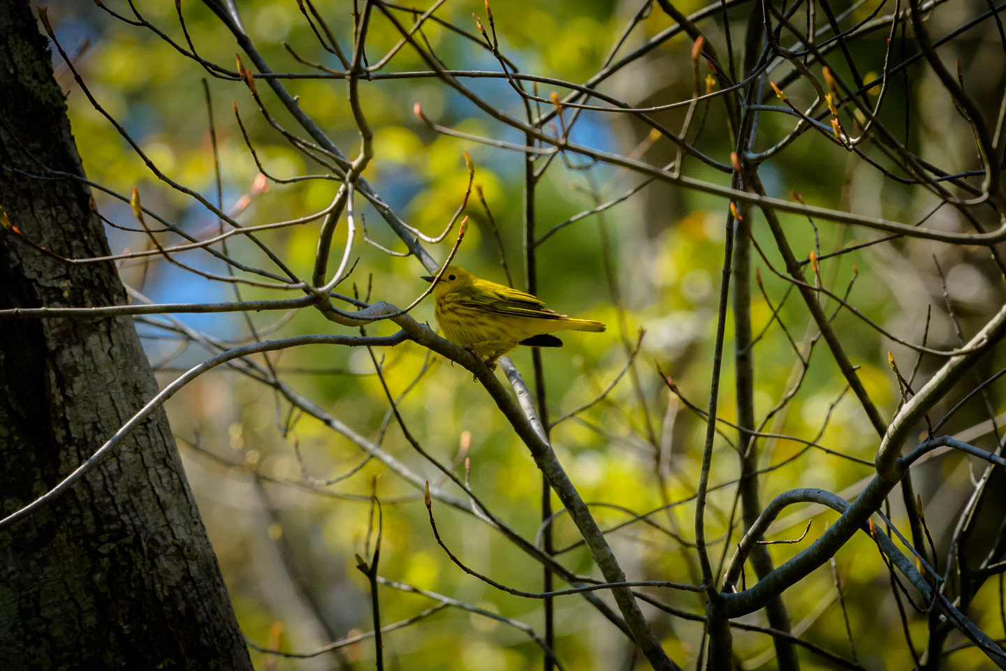
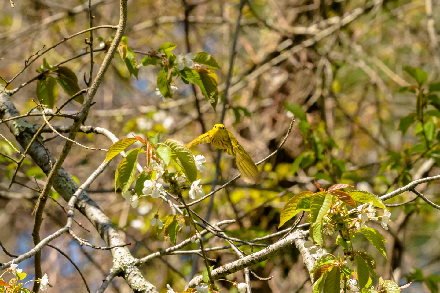
The walk is through woods, up a very steep hill, and to a pipe-line right-of-way. From there, the property is adjacent to other conservation areas for longer walks in the woods. While not a great location for photographs other than macro, it turns out to be an excellent Spring birdwatching location. We saw Yellow Warbler, Pine Warbler, and a Ruffus Sided Towhee rummaging through the dead leaves (which is exactly how it is described in the guide book). (The Ruffus Sided Towhee is now officially known as the Eastern Towhee) Here are some Yellow Warbler pictures:
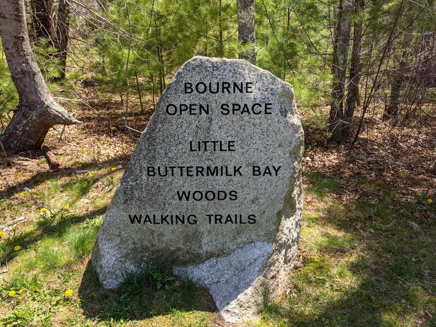
Little Buttermilk Bay
PDF trail Map of Little Buttermilk Bay
Little Buttermilk Bay Preserve (visited Spring 2020) has a pretty little walk in Bourne that leads to Little Buttermilk Bay, which is a small bay that connects to Buttermilk Bay. Buttermilk Bay, in turn, connects to (eventually) Buzzards Bay. It has a nice half-mile walk through the woods and a pretty view of the water. No big photo opportunities for us here, though.
Lyman Preserve
Lyman Preserve has its own page: click here for Lyman Preserve.
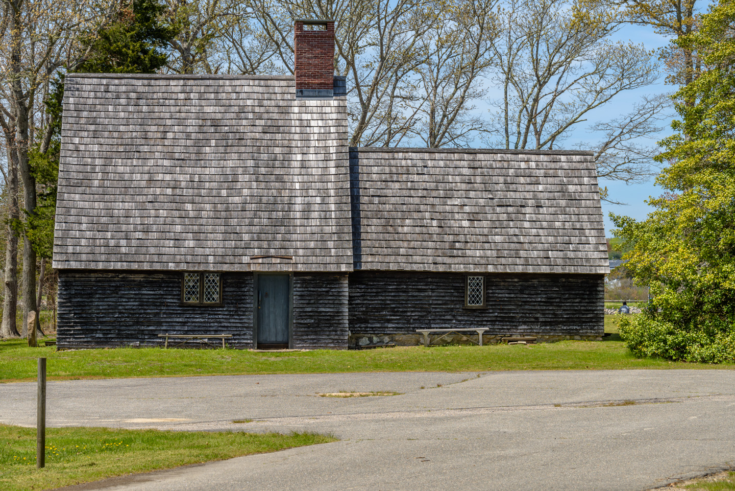
Nickerson Conservation Area and Museums at Aptucxet
PDF trail Map of Nickerson Conservation Area
Nickerson is a small preserve that goes from the Museums at Aptucxet to the Cape Code Canal Bicycle Path. The museums were closed because of the Covid-19 pandemic but include a replica of the 17th century Pilgrim Trading Post and other historic buildings. (Wikipedia can give you a bit of the history of this trading post and the museum.)
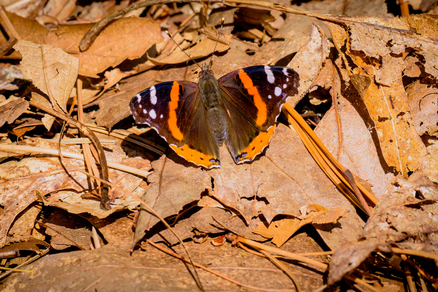
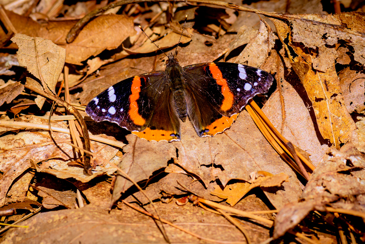
We walked through the Nickerson Preserve woods and found ourselves stepping out on to the Cape Code Canal Bike Path. (You can check out our separate page for that preserve.) On our way back a butterfly (Red Admiral Butterfly aka Vanessa atalanta) posed for us.
Back to the Preserves main page
Updated April 2026