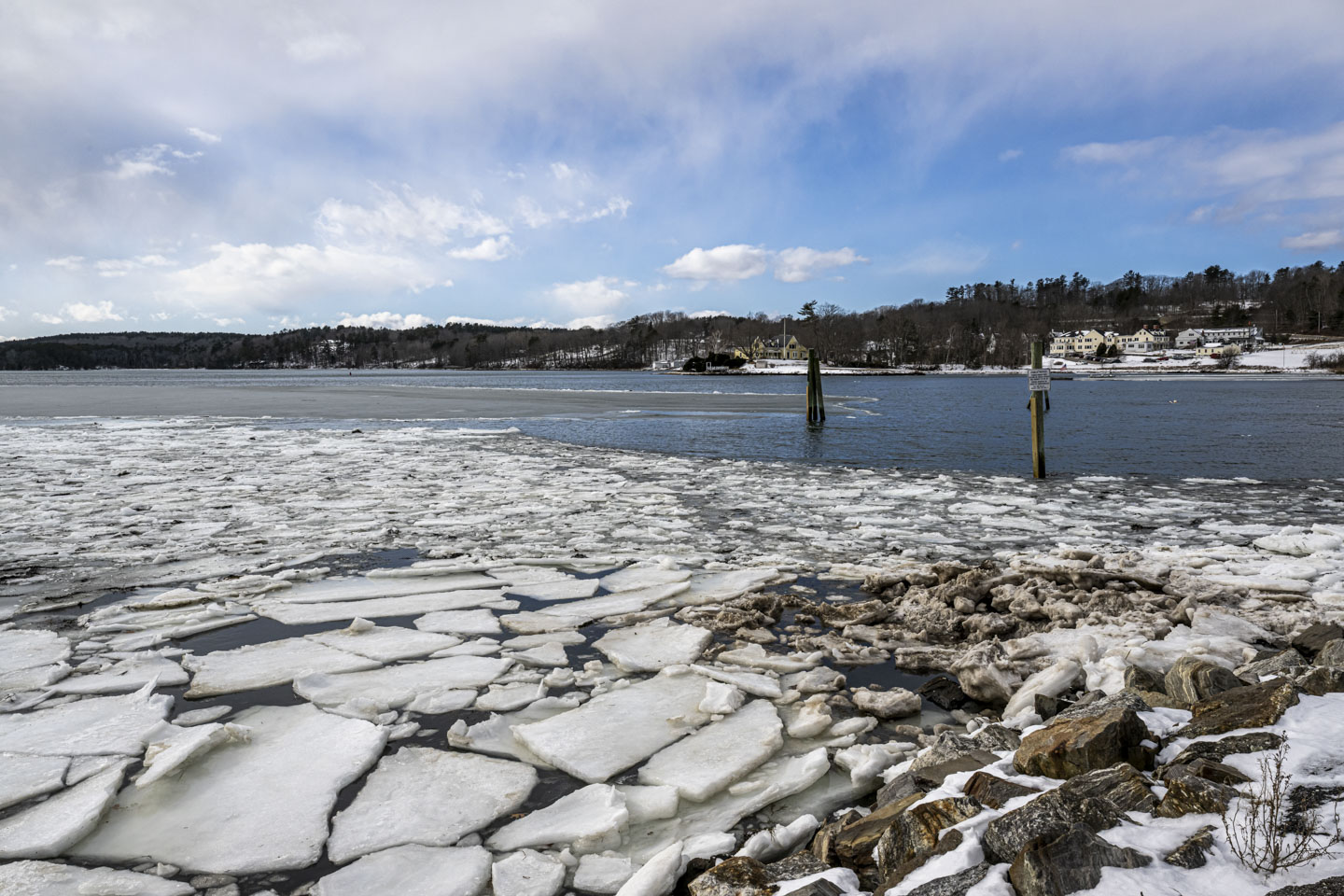
Damariscotta is the gateway to the north from Boothbay. The Damariscotta River is wide at this point, and the quieter edges have a lot of ice despite the river having some salt content in this section. The sky couldn't decide if it should be sunny or overcast.


And just north of Damariscotta are Nobleboro and Newcastle, and the Damariscotta Fish Ladder (the link goes to our visit there in 2018). There were certainly no Alewife running in January, so there were no flocks of gulls by the river.

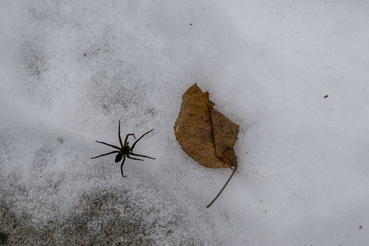
We did see some life, though. This spider was braving the snow in search of food (presumably).
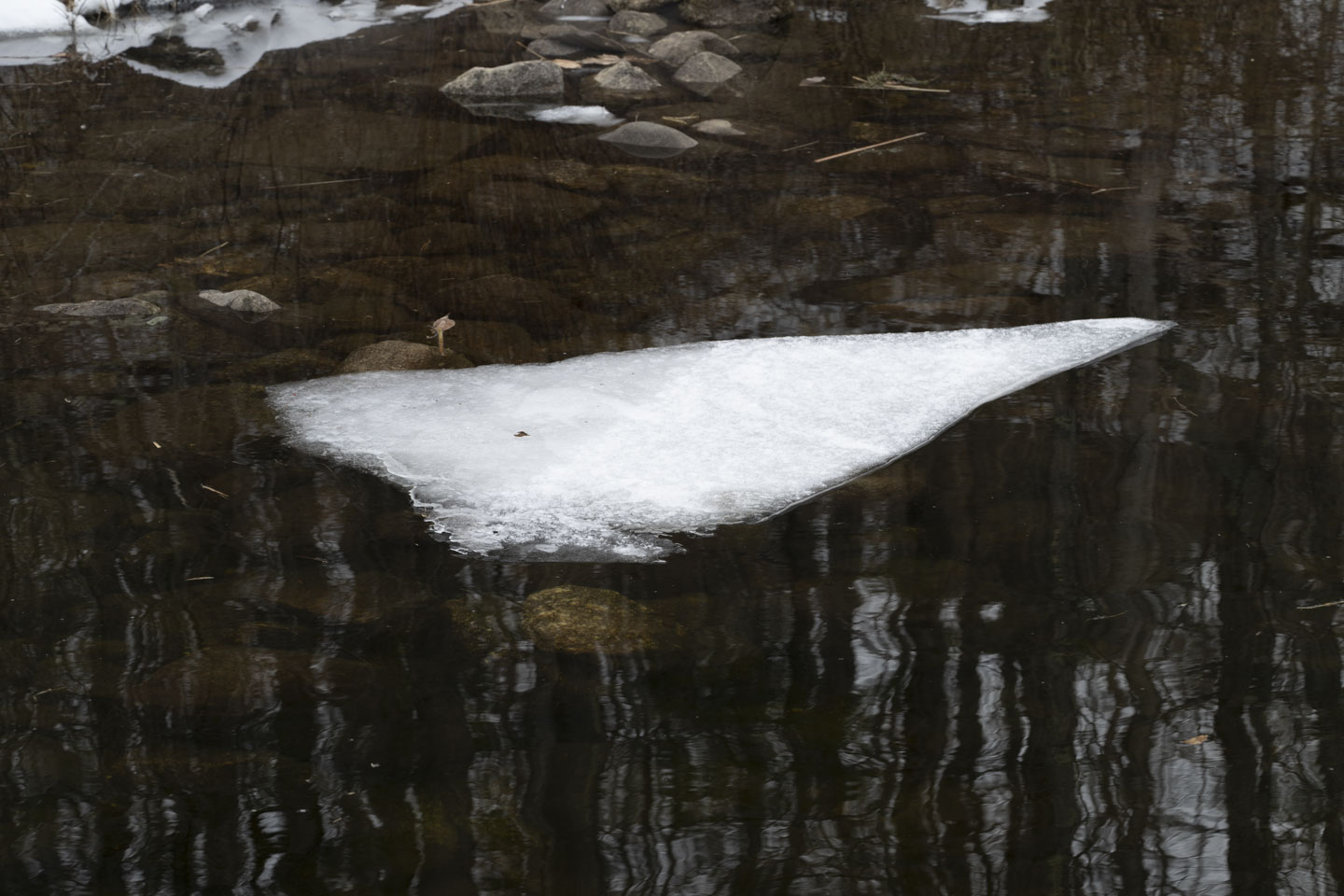
We mostly saw ice and snow.

The water was frozen at the top of the fish ladder, at least enough to support these ducks.
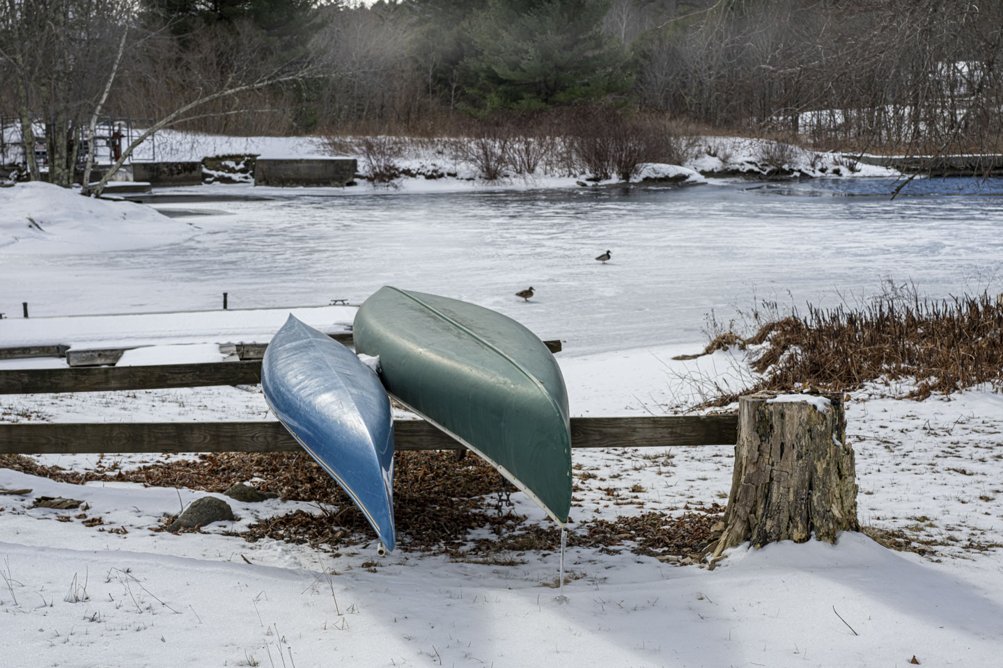

The main section of the river here is wide enough to be a small lake. There was definitely ice.

This next picture has a number of interesting points. One is that there is liquid water in some spots and ice in others. Another is that the wind was very strong, and you can see snow being blown across the surface. And finally, the ice must be thick on the other side because about 2/3 of a way across the picture there is an ice fishing hut.

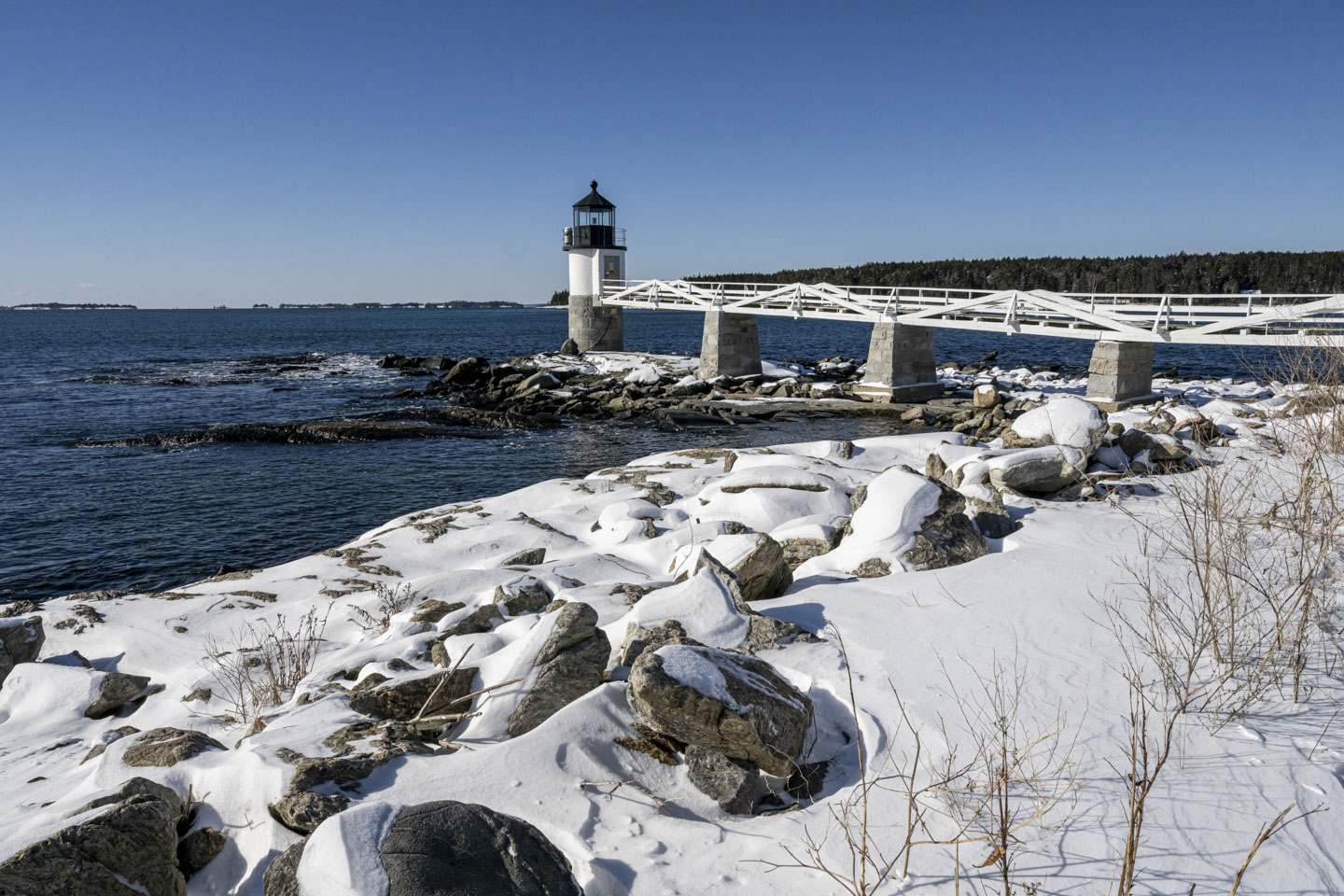
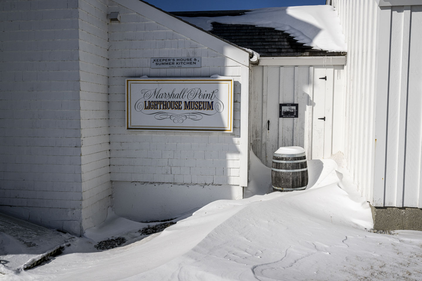
Continuing on Rte 1 North from Damariscotta (which is actually travelling east in this section), you get to the St. George peninsula, at the tip of which is Marshall Point Lighthouse. They are taking advantage of the off-season for some repairs, as evidenced by the scaffolding and ladder.

The lighthouse location is pretty with the snow-covered rocks.

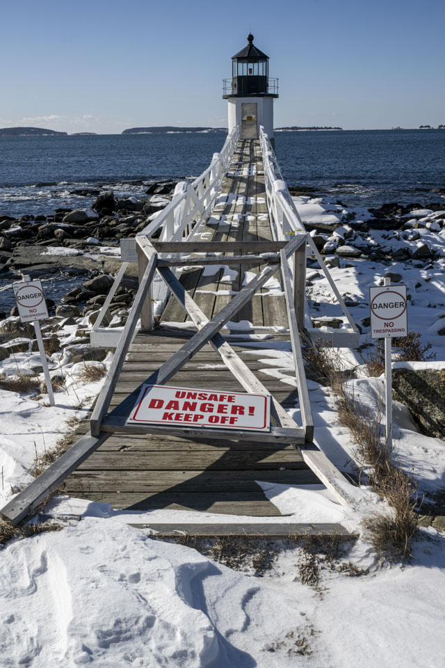
Although we have been on the bridge that goes to the lighthouse, this time that was not an option.
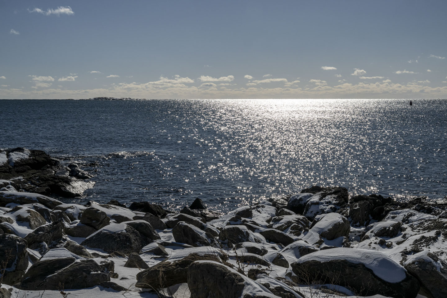
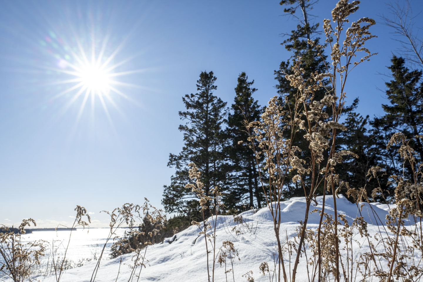
The January sun shining on the water was really lovely.


Although the lighthouse museum is closed, a couple of people came while we were there. We are not certain what they were checking on.
Fog horns and bells are not the essential item they once were, but they are still an attractive decoration.

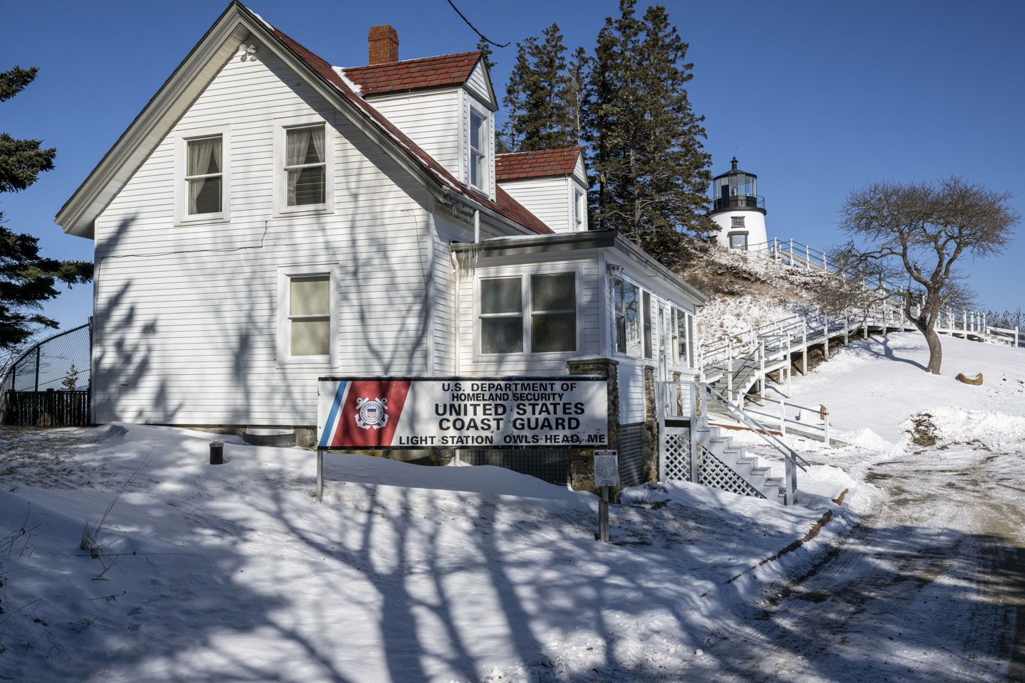
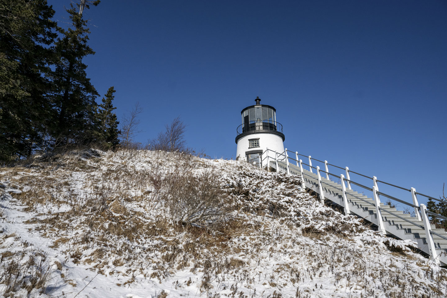
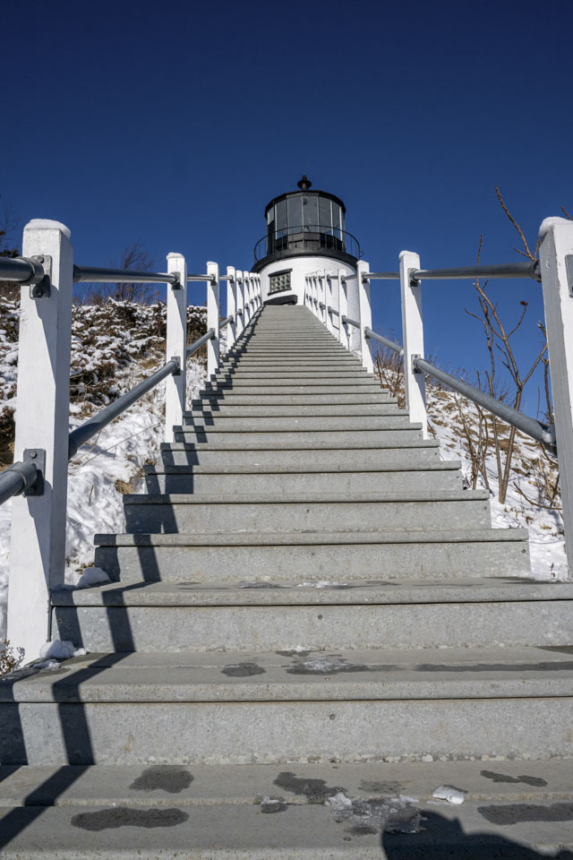
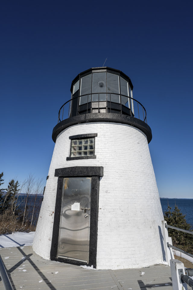
Closer to Rockland is Owls Head Light, located in the state park of the same name.
It was definitely a wintery day.
The lighthouse itself is at the top of a rocky cliff.
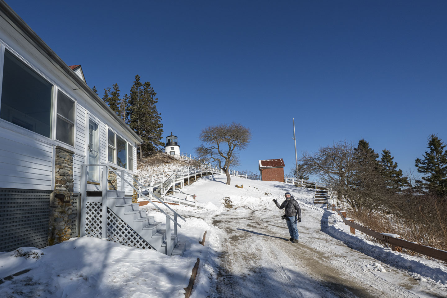
In the tradition of having feet in a photograph, we offer this one.

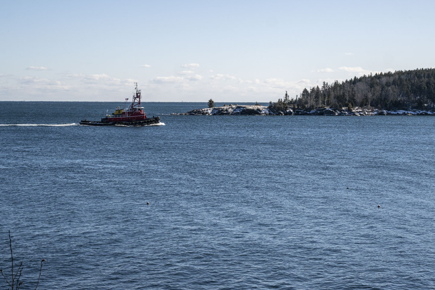
A tugboat was heading by the lighthouse and between the mainland and small Monroe Island. Fournier Girls Tugboat, according to the linked page, was originally built in 1970 in Texas, with the name Mister Mike. 22 years later, it went to Louisiana, then it went to Seattle Washington for a few years, then back to Louisiana. In 2006 it was in Virginia, and just 3 years ago in 2022 it came up to Maine and was given its current name. The tug is actually based out of Belfast, a bit further up the coast, and used by Fournier Towing and Ship Service. Tugboats have interesting lives.
Being so close to Rockland we of course stopped there as well and saw the Rockland Breakwater Lighthouse.


The wind made it feel very chilly; we could tell it was January.


Updated April 2025