Johns River separates South Bristol in the west from Bristol in the east. Route 129 goes down the west side, and the Thompson Ice House is along that road. At this link are some pictures from spring of 2022.
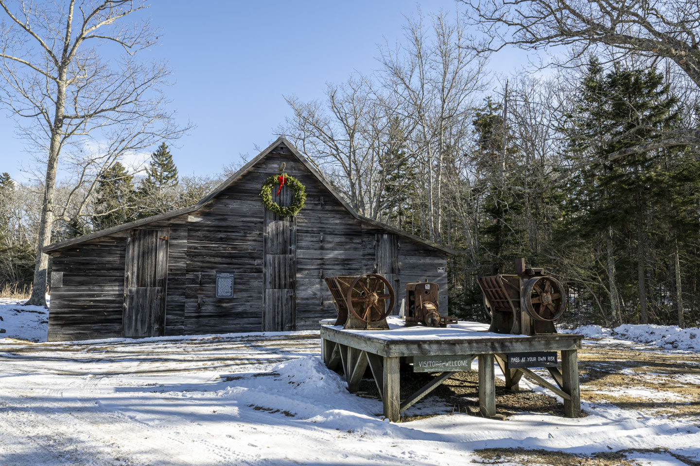
In the winter of 2025, the location looks a bit different than those springtime pictures, starting with the water being frozen. Some of the pond was cleared, likely in preparation for harvesting blocks of ice.

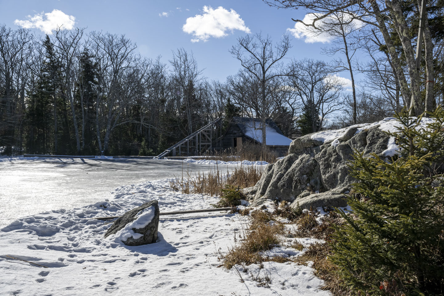
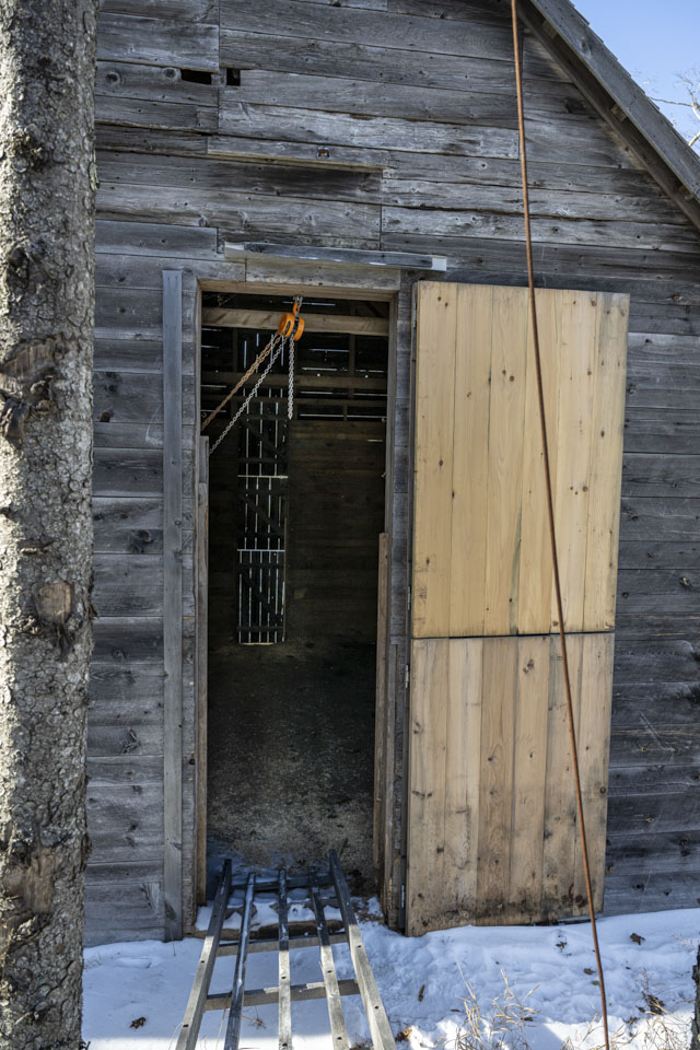
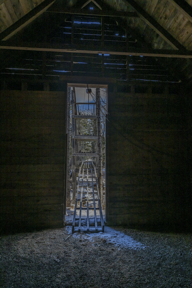
The pond-facing door of the barn was open, ready to have blocks of ice slid into layer upon layer within the barn, then covered with straw.

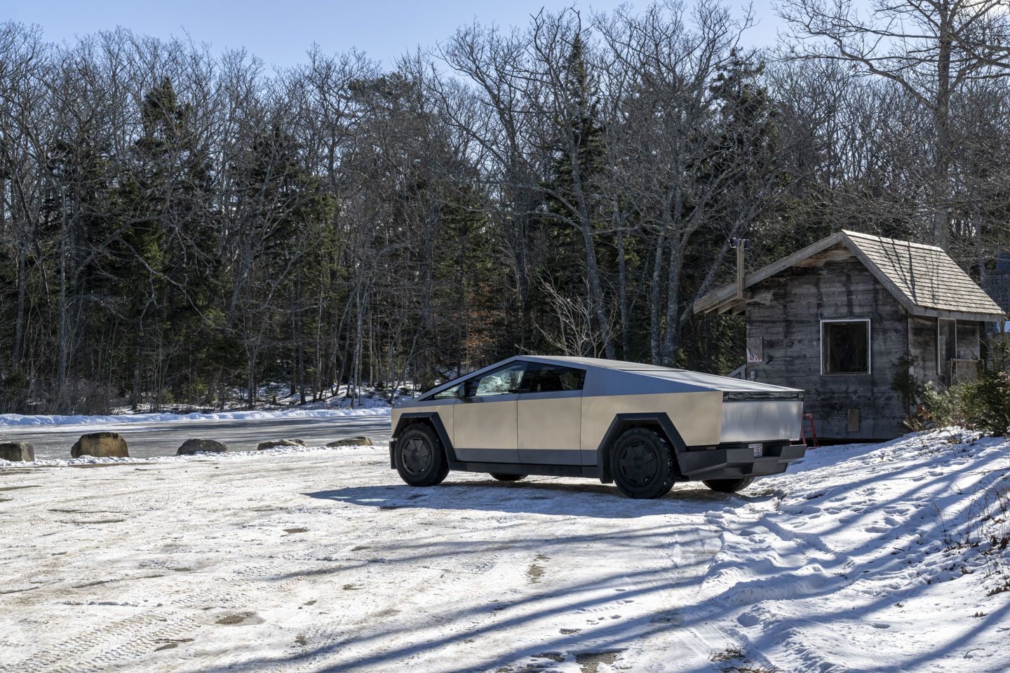
Despite the temperature being about 10° F that morning, we had gone to a car wash to get the thick coating of sand and road salt off of the truck. The Cybertruck performed well with the road conditions but definitely got very dirty. After the washing, it was much less likely to get us dirty as well.

Anne took advantage of the frozen pond.

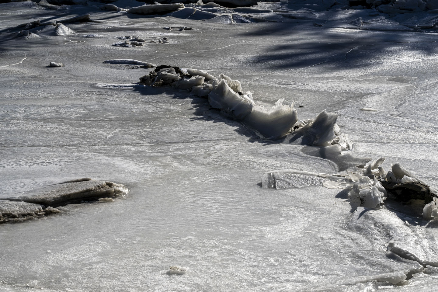
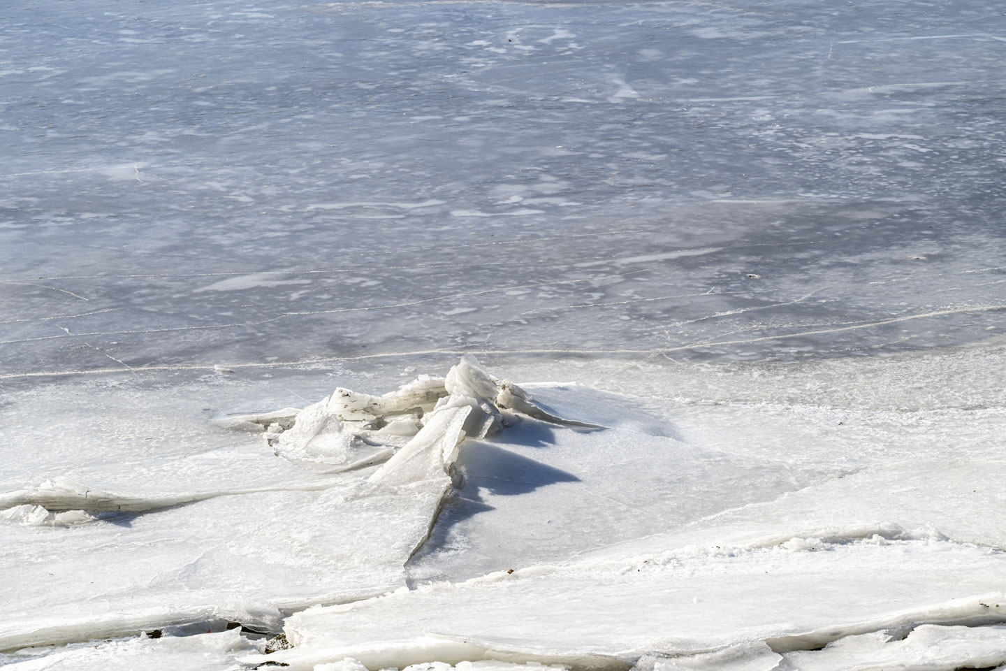
One of the things we hoped to see on this winter vacation was, not only ice, but various configurations of ice: flat, 3-dimensional, thick, thin, deformations. Bristol delivered. A little trail called Bristol Town Recreational Trail leads to part of the Pemaquid River.

This little side branch is tidal but slow moving, which leads to broken ice.

The preserve's trail goes over a little bridge. Although the water surface was frozen, we could hear running water underneath the ice. We definitely were not interested in walking on that ice.
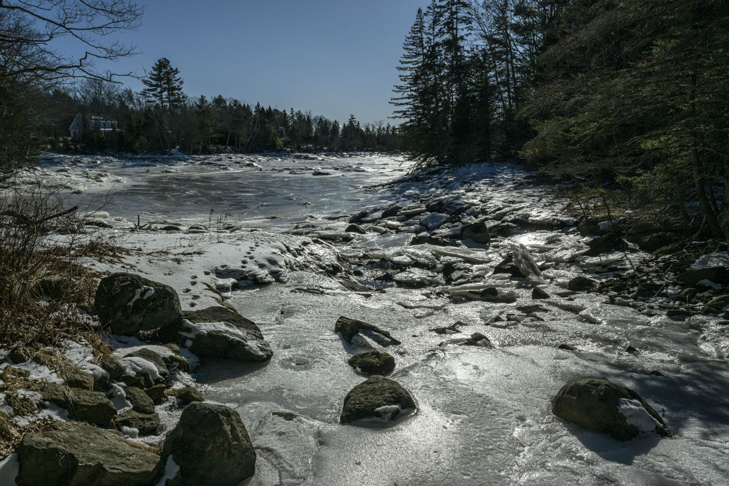
The trail follows the edge of the river. The tide is low and the mud is exposed in this shallow area.

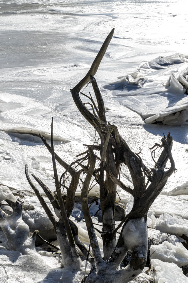
Looking back where we had come from reveals a house with a great view of the river.
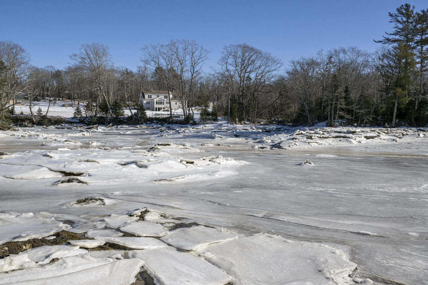
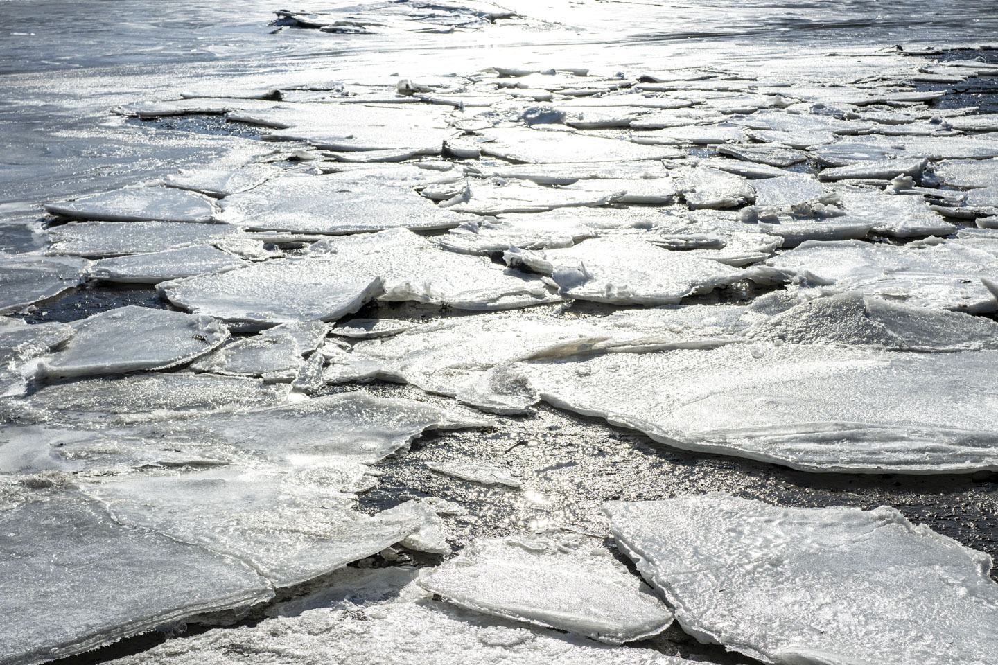
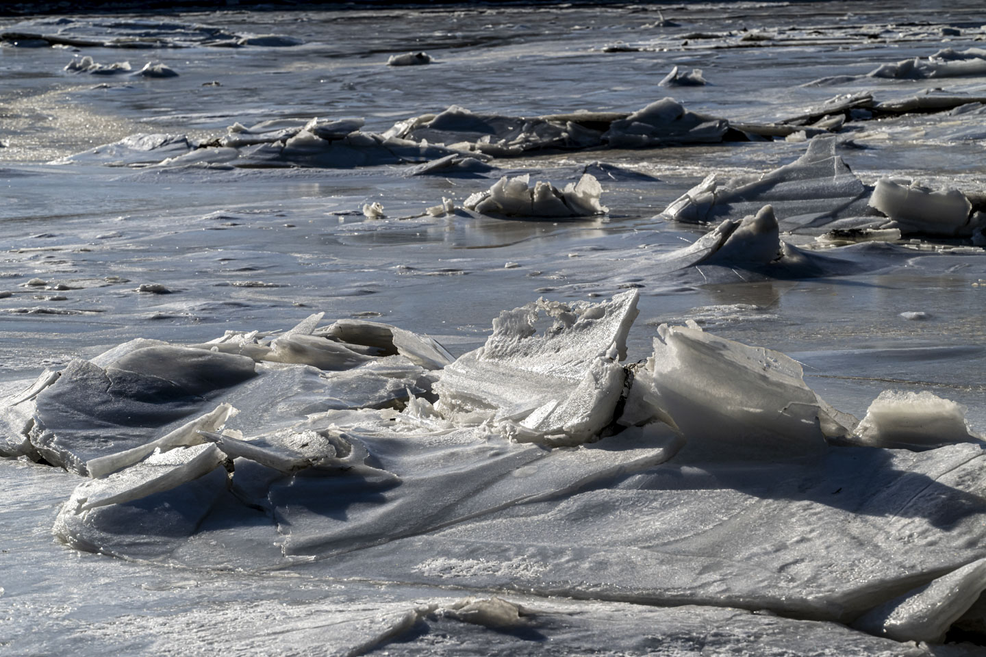
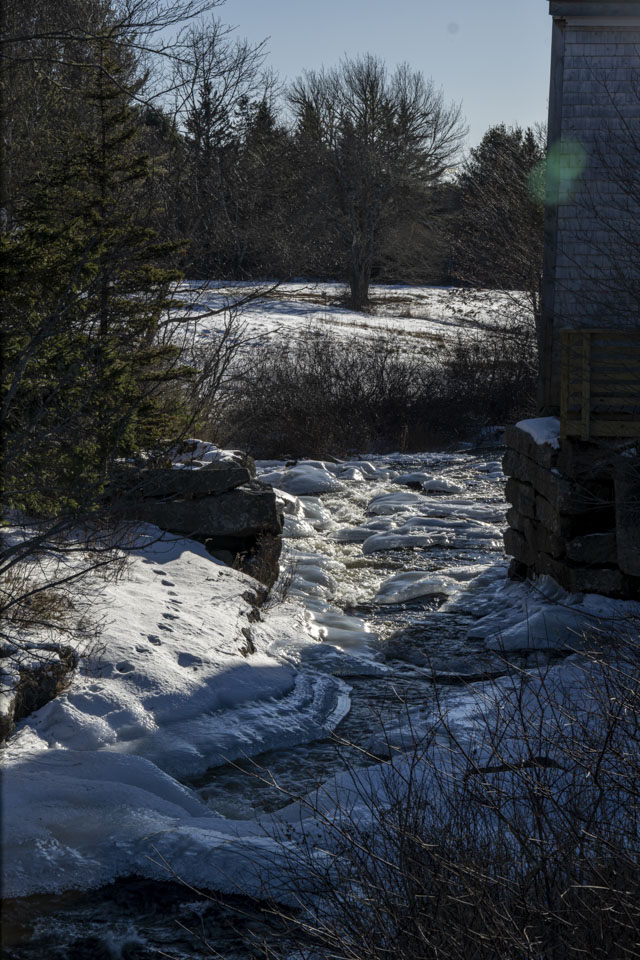
A bit further along the trail (which is less than a mile in total) approaches the main section of the river, which is broader and has more flow. This area also has thinner ice and even uncovered water.

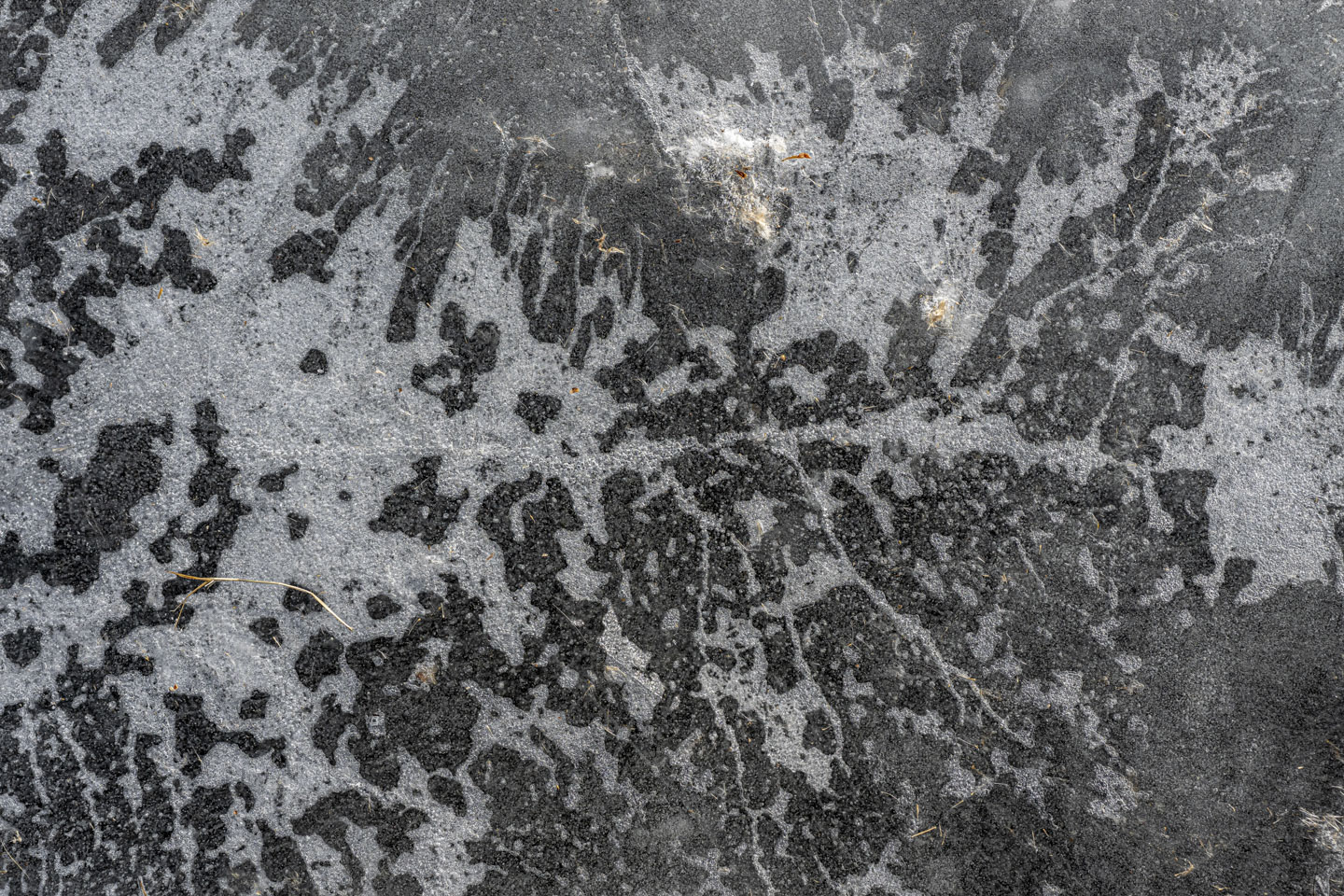
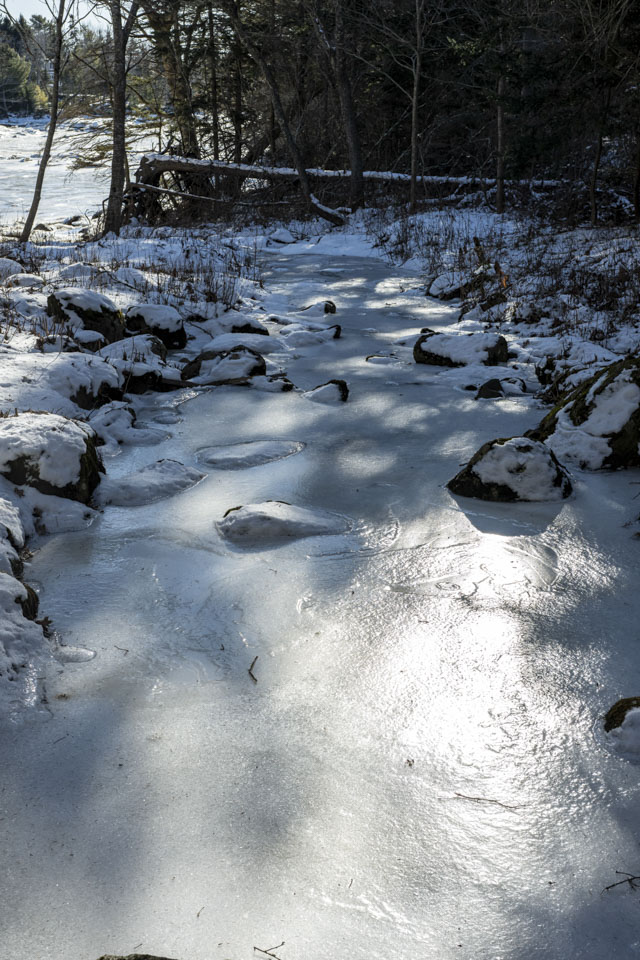
The ice seems to have frozen in layers; the different layers are flaking apart on this piece of ice.

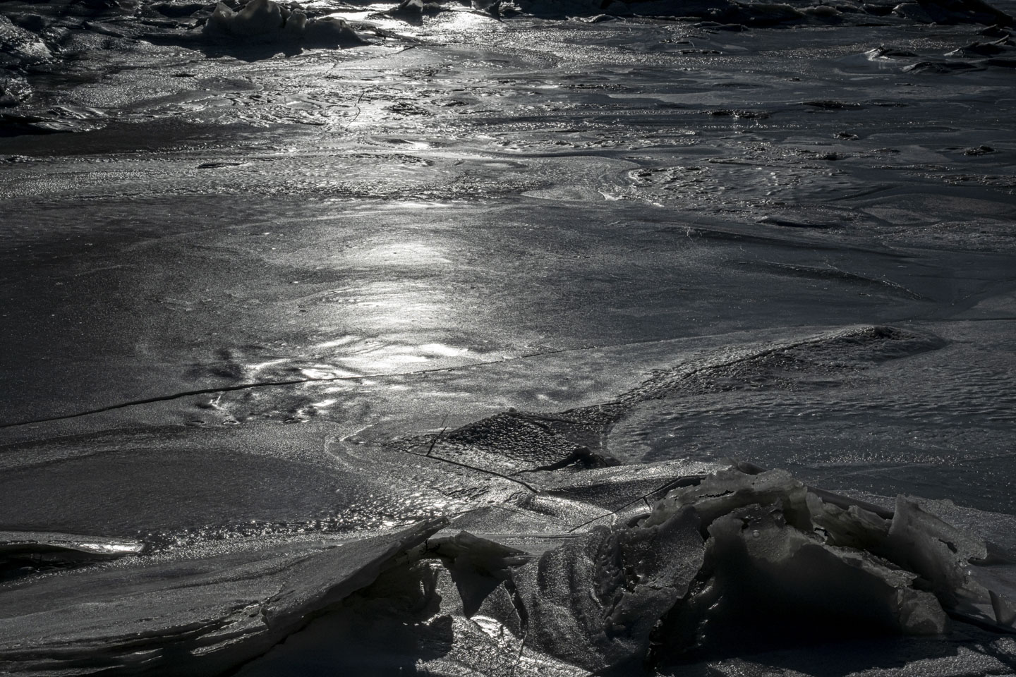
One last view of the ice before we move on. This photograph is dark because the bright sun would otherwise have made everything impossible to see.
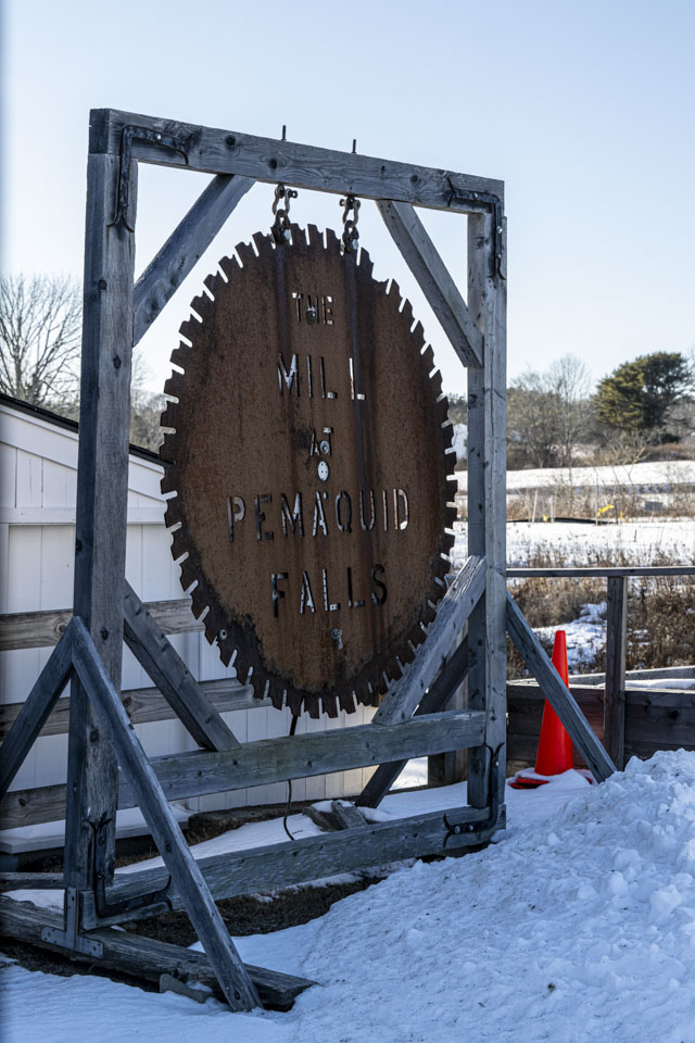
Just up the road from the Bristol Recreational Trail Route 130 crosses over the Pemaquid River. This is the location The Mill at Pemaquid Falls, which is being restored by the Old Briston Historical Society (at the same location). It will be exciting when their planned exhibits are available, showing the historic uses of the building for (at various times) milling grain, carding fiber, and cutting wood. We took a look around the exterior of the building.

We will go to a new page for more pictures ...
Updated April 2025